-40%
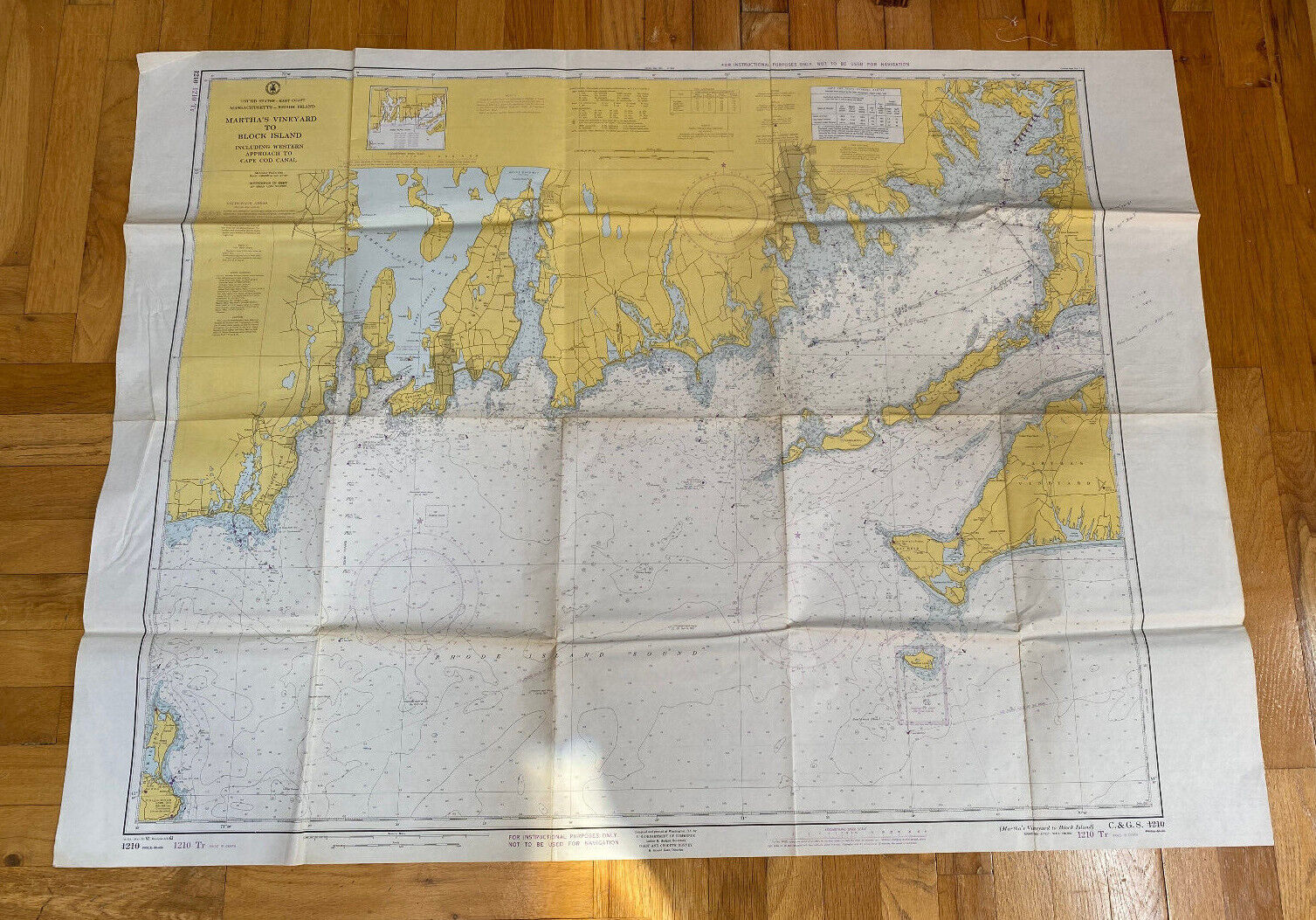
VTG-Nautical Chart-Rhode Island Sound-Martha's Vineyard to Block Island-1960s
$ 18.48
- Description
- Size Guide
Description
This is a vintage nautical chart from the 1960's that was laying around the house, that my uncle used for his fishing endeavors.Due to this being a informational tool areas of this chart have marks/stains, creases and worn corners. The map was also folded which lead to creasing in the map in the areas it was folded. The center of some of these folds show wear.
My uncle was attempting to do calculations using this map so there are pencil lines within the map as well as some pencil notes on the edge where he was doing his equations.
Otherwise smoke free home, thanks for looking, message with questions!


