-40%
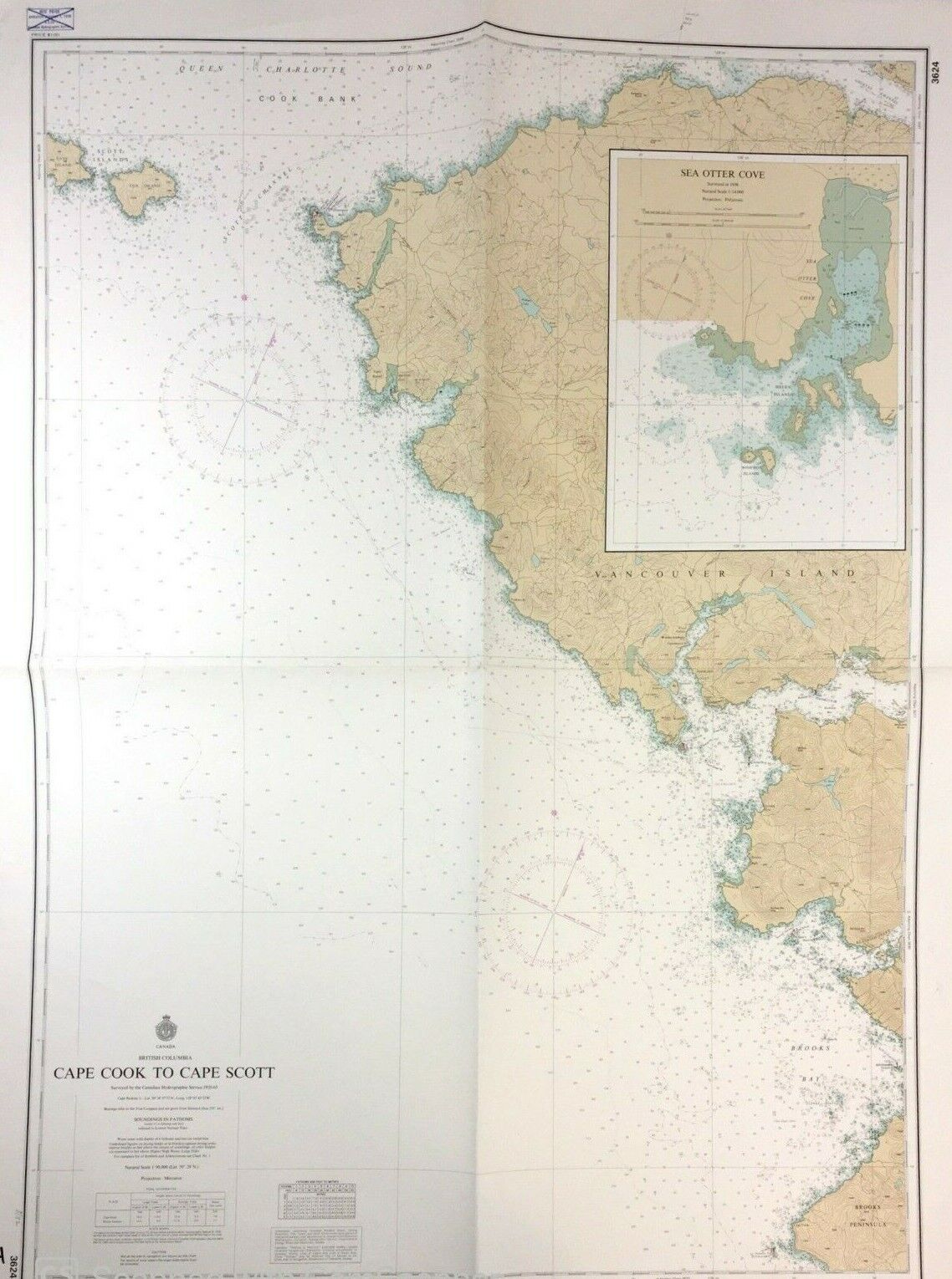
Vtg SEA OTTER COVE Nautical Chart VANCOUVER ISLAND Canada BRITISH COLUMBIA MAP
$ 11.64
- Description
- Size Guide
Description
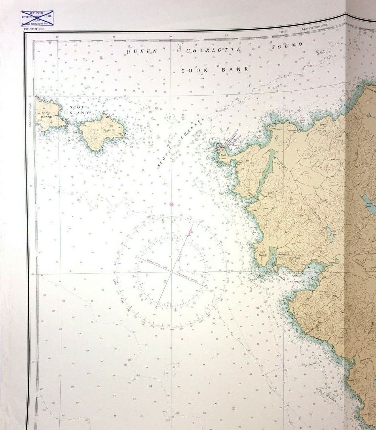
Vintage 1972, CAPE COOK to CAPE SCOTT, Vancouver Island NAUTICAL CHART / Map, with SEA OTTER COVE Zoom In.- Chart # 3624
- Last corrections 1972, Canadian Hydrographic Service
- Measures 42" X 31"
Condition:
-
Very Good used condition, a little more wear on left edge than right, a few notations around border.
- Obviously folded in four, poster size.


