-40%
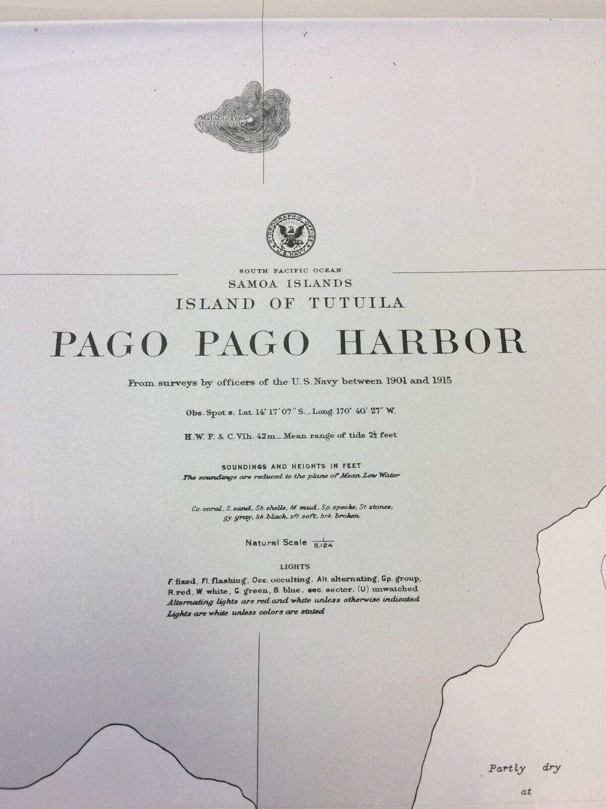
Vintage WW2-era Nautical Chart of Pago Pago Harbor
$ 23.76
- Description
- Size Guide
Description
Vintage WW2 nautical chart titled, "Pago Pago Harbor, Island of Tutuila, Samoa Islands, South Pacific Ocean." Very detailed and descriptive. Features U.S. Naval Staion, Observatory, Taema Basnk, and areas indicated as Volcanic Rock, Coral Block, and much more.Drawing is taken from surveys by officers of the U.S. Navy between 1901-1905. This chart was printed in 1943, and is stamped "Restricted."
Chart #2563. Printed by the Hydrographic Office of U.S. Navy. The print is primarily black and white and includes shades of gray in certain areas.
The International Hydrographic Organization defines hydrography as “the branch of applied science which deals with the measurement and description of the physical features of the navigable portion of the earth’s surface [seas] and adjoining coastal areas, with special reference to their use for the purpose of navigation.”
Print is large - measures 40" x 33". At one time this item was folded so there is some creasing but not significant, still very suitable for framing.
*FREE SHIPPING*
Thanks for visiting! Please contact me with any questions.


