-40%
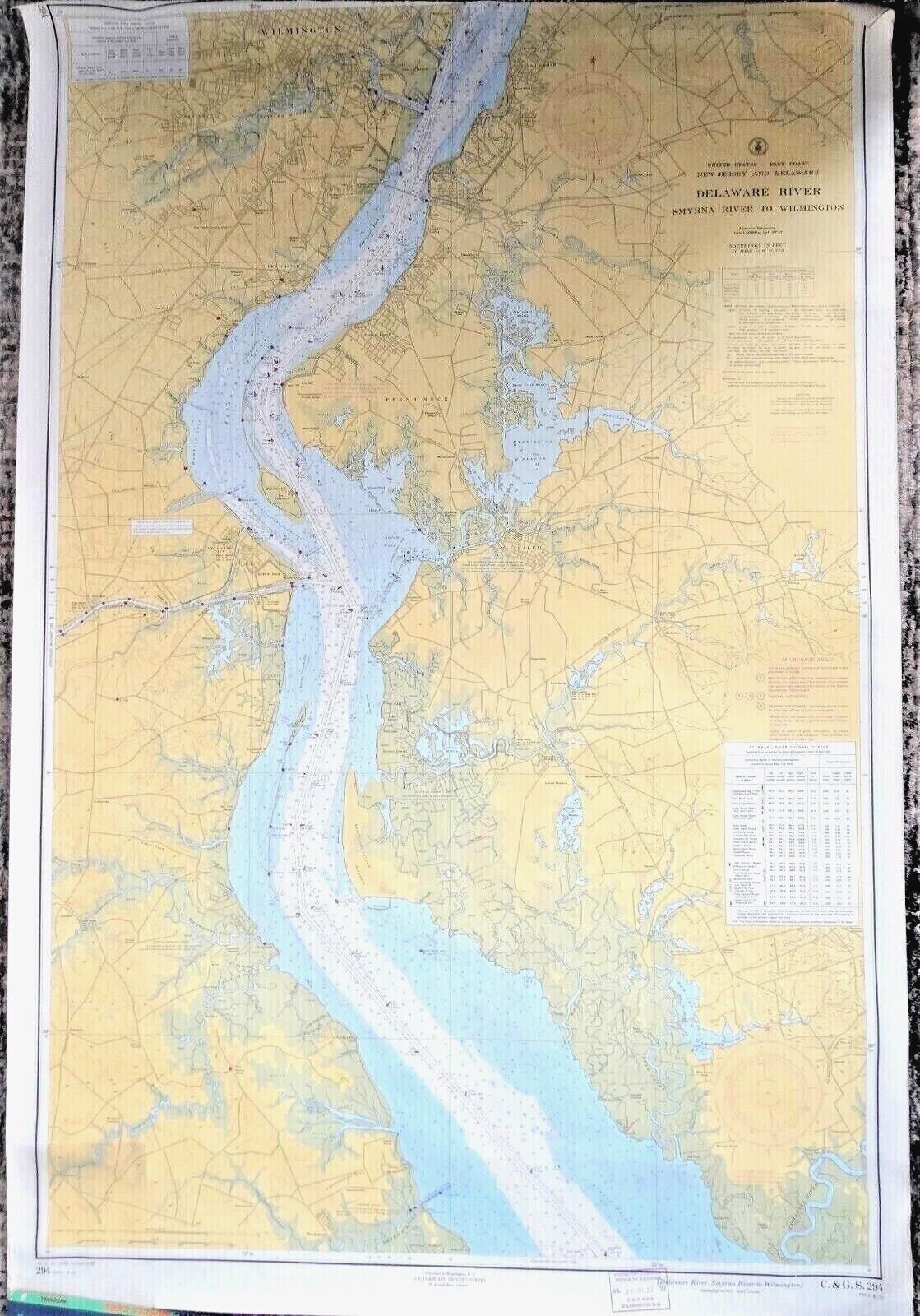
VINTAGE NAUTICAL CHART MAP NJ DE DELAWARE RIVER SMYRNA RIVER to WILMINGTON
$ 10
- Description
- Size Guide
Description
Vintage:11th Edition U.S. Coast Guard &
Geodetic
Survey Map of the Delaware river
DELAWARE RIVER
SMYRNA RIVER to WILMINGTON
This vintage 1957 Nautical map is in very good condition. The map has been rolled-up so there are no folds.
This map is the 11th Edition, printed 3-23-1953 and revised and corrected through July 27, 1957.
Note: All Maps are mailed in sturdy mailing tubes to prevent damage.
The chart measures
31" long x 46" tall and
is printed on heavy paper stock. The primary colors utilized on this collectible map are bright yellow and soft blue and white.
If framed, this vintage collectible map would make a great wall decoration!
Please see pictures and email me with any questions.


