-40%
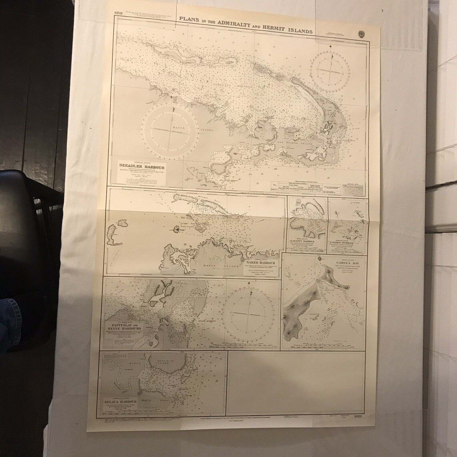
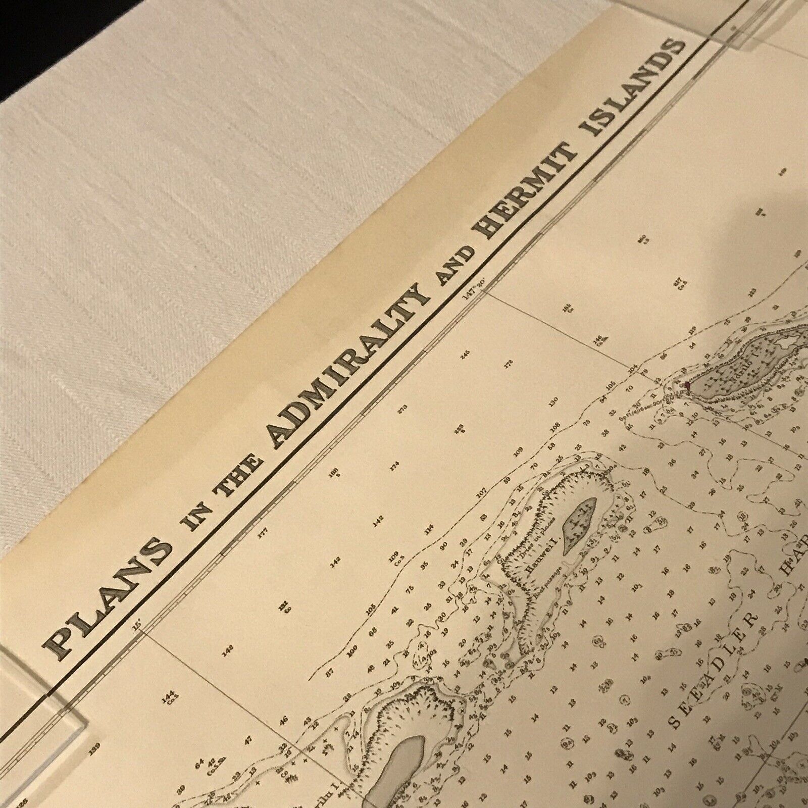
Vintage Nautical Chart Map Hermit Islands Australia 41” x 28” Heavy Paper LARGE!
$ 17.41
- Description
- Size Guide
Description
This vintage map measures about 41” x 28” and is made of heavy paper, once owned by a sailing enthusiast who sailed the world. It is map #3829 “PLANS IN THE ADMIRALITY AND HERMIT ISLANDS”It includes Seeadler Harbour, Nares Harbour, Alacrity Harbour, St Andrew Anchorage, Carola Bay, Papitalai And Hyane Harbours, and Kelaua Harbour.
The map has many dates printed on it ranging from the 1930s - 1970s. It was printed in July 1974. It was issued by J.D. Potter Ltd of London in 1976.
This map is in good vintage condition. It has a crease across the middle. It may have some yellowing, light staining, tattered or bent edges and/or corners. See photos. It will be shipped rolled in a tube.


