-40%
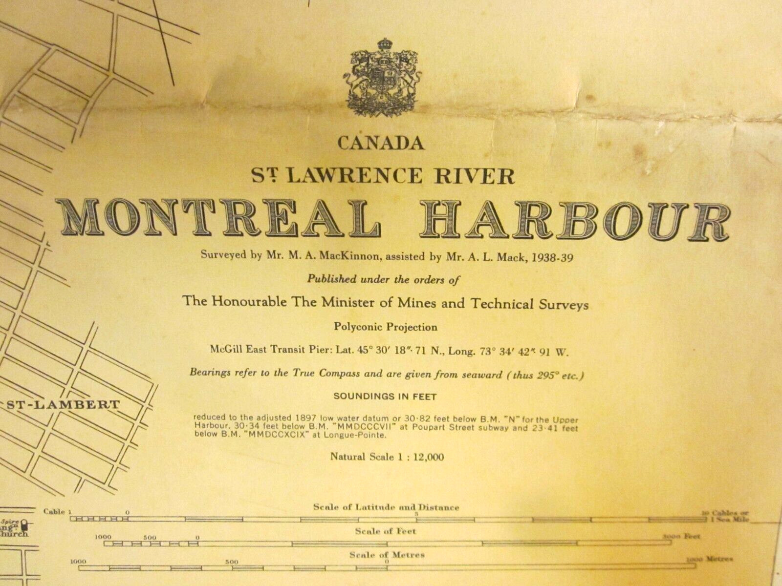
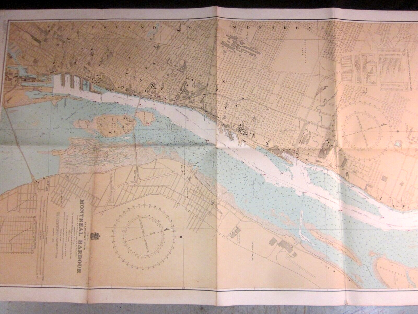
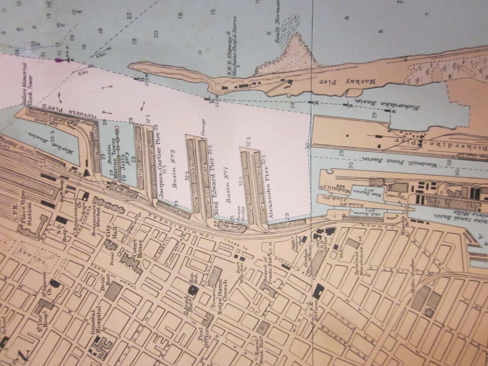
Vintage Nautical Chart Canada Montreal Harbour 1952
$ 13.17
- Description
- Size Guide
Description
Canada, St. Lawrence River.Montreal Harbour.
Nautical Chart.
This is the 1952 edition. The 1st edition was 1908.
42 by 26 inches.
Published by the Canadian Hydrographic Service, Surveys and Maps Branch, Department of Mines and Technical Surveys, Ottawa, Canada.
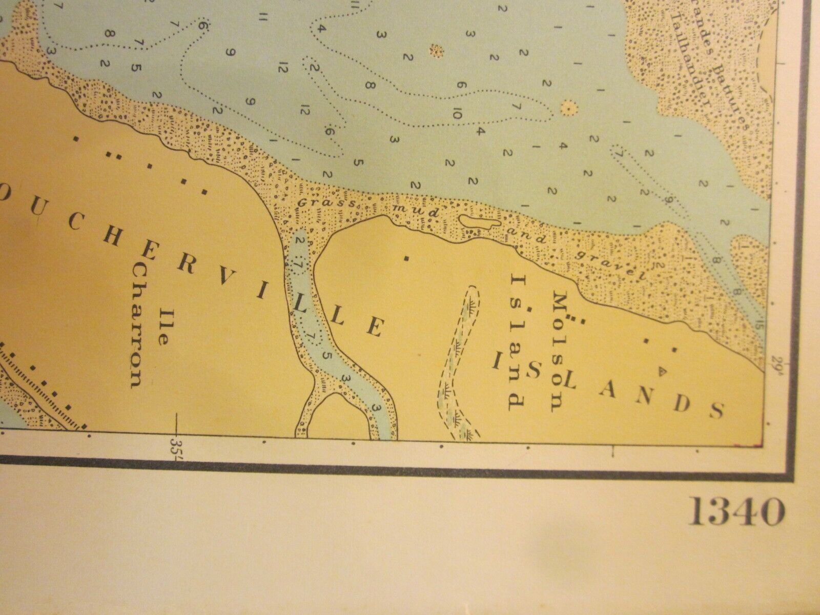
Chart No. 1340.
Thank you!
