-40%
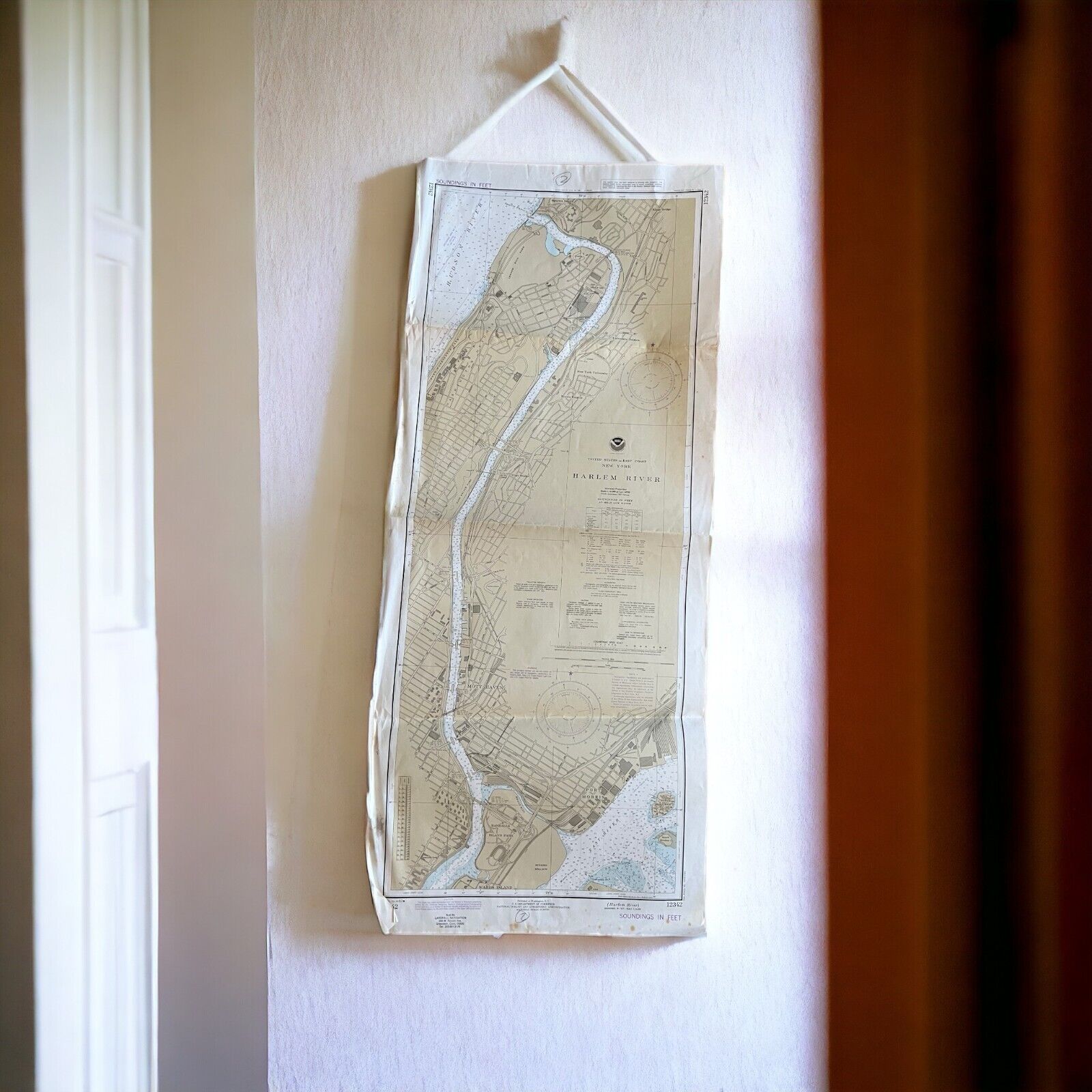
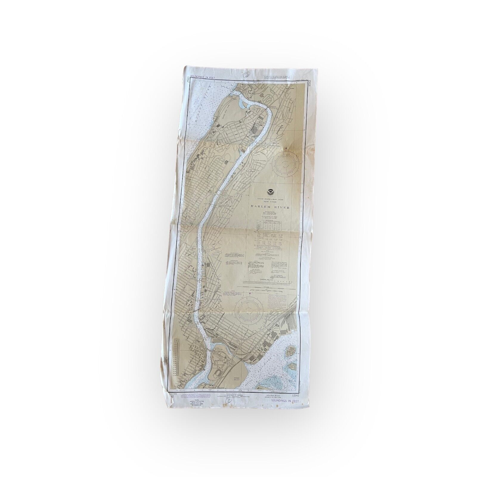
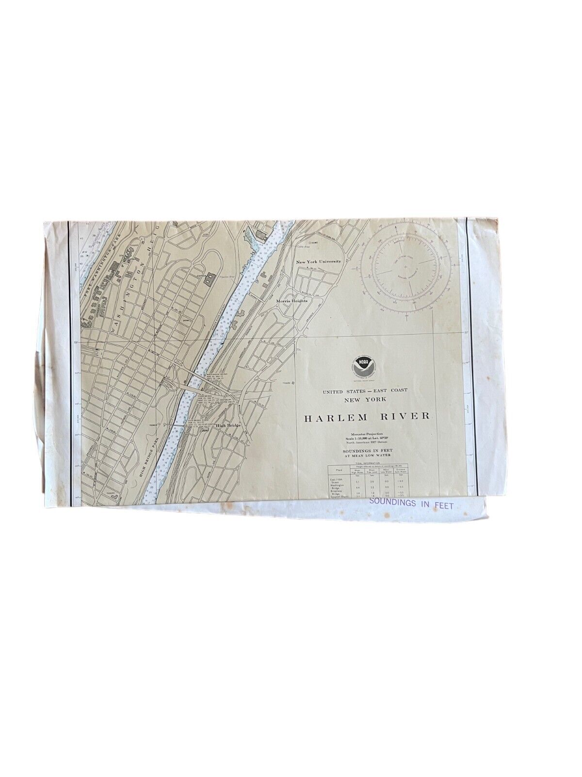
Vintage Nautical Chart 12342 Harlem River New York. NOAA 1982 22" x 44"
$ 13.2
- Description
- Size Guide
Description
Vintage Nautical Chart 12342NOAA Harlem River NYC
c. 1982
18" x 44"
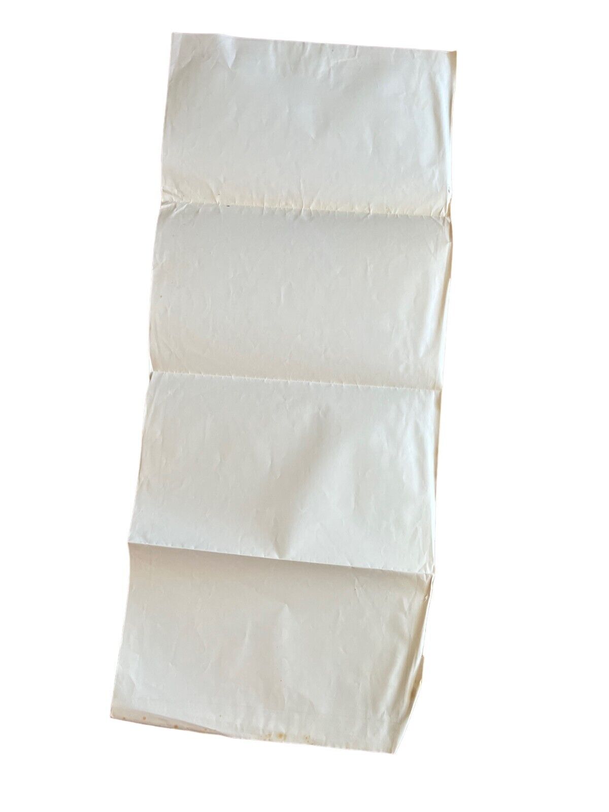
This is an estate sale find and was folded when I found it. Buyer will receive map as found- with fold lines / folded in an envelope.
Vintage condition. Wear consistent to use on a boat. Maps may have water staining/ damage, aging, discoloration. Some tattering around edges
Buyer will receive map only. The hanging string I clipped to the map to take the photos is not included.
This map is for decorative purposes. Due to its age, use in actual navigation is not recommended as it is outdated.


