-40%
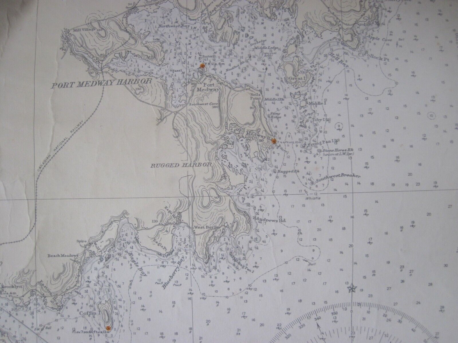
US Navy 1933 Hydrographic Maritime Navigational Map Port Medway Nova Scotia
$ 100.32
- Description
- Size Guide
Description
US Navy Hydrographic Office1933 Nautical Maritime Navigational Map - Port Medway to Lockeport Harbor, Nova Scotia. 43'' x 34''Published at Washington, D.C. Hydrographic Office, 17th edition 1933.
Stamped "Corrected through Notice to Mariners" October 1937 Navy Department of Hydrographics and a Boston Navigational Equipment Company.
This map is in very good overall condition, has been stored rolled up for decades, edge has minor damage,
Map has penciled navigational lines and times, please see all photos for details.
It offers detailed and important navigational information.
Perfect gift for the historian, seaman, map lover, the curious or just as a great conversation starter, it is wonderful and rare.


