-40%

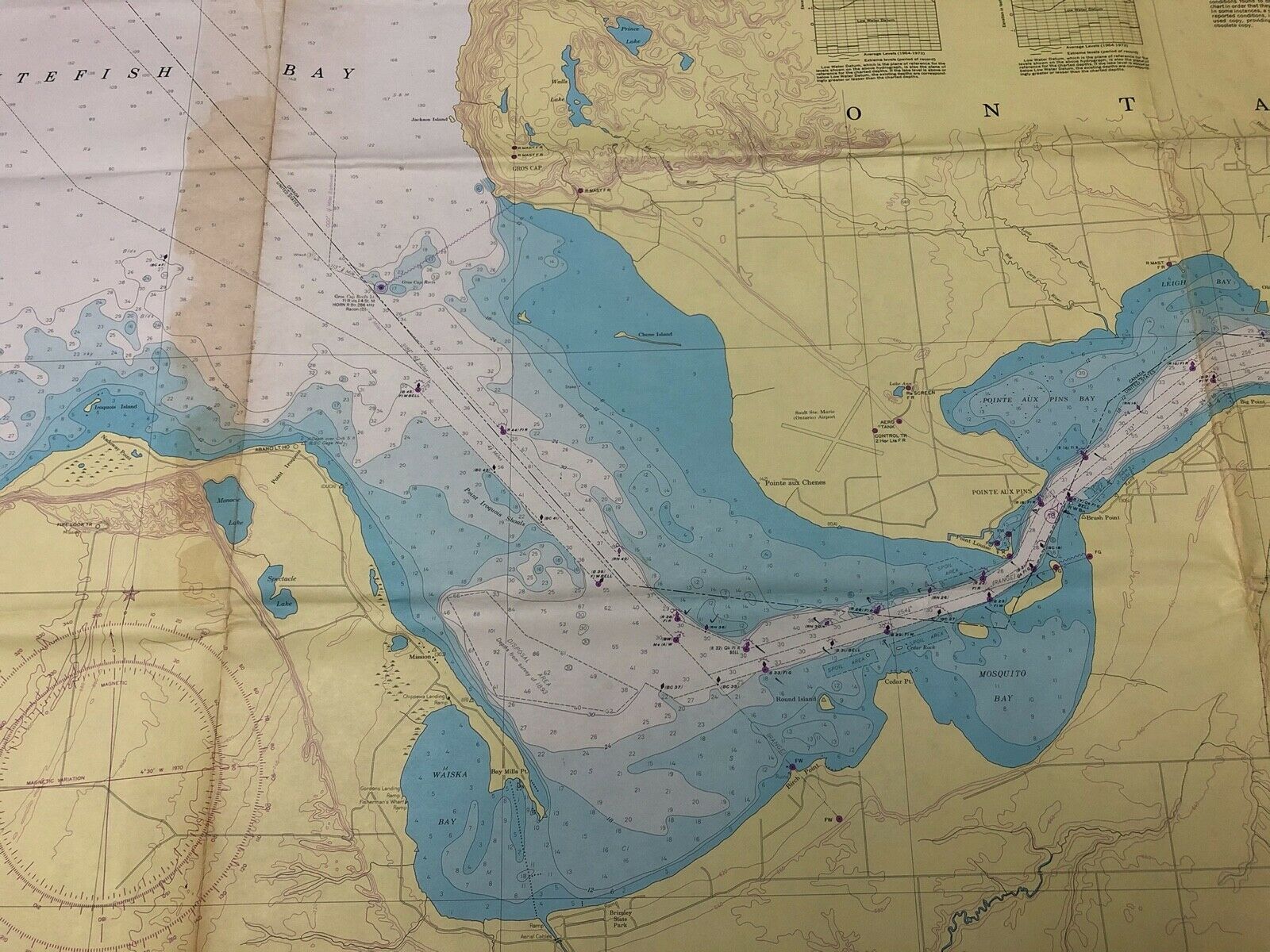
St. Marys River Sault Ste. Marie Whitefish Bay Navigational Geological Survey

$ 10.56

Availability: 100 in stock
  • All returns accepted: ReturnsNotAccepted
  • Military Branch: U.S. Department of Commerce NOAA
  • Condition: Excellent Condition, Chart has been folded.
  • Maker: National Ocean Lake Survey Center
  • Original/Reproduction: Vintage Original
  • Country/Region of Origin: United States

    Description

    Beautiful 1974 vintage navigational chart of St. Marys River from Sugar Island to Whitefish Bay and Lake Superior. This chart measures 36" x 48". Ideal for framing and display. The chart is in beautiful condition.