-40%
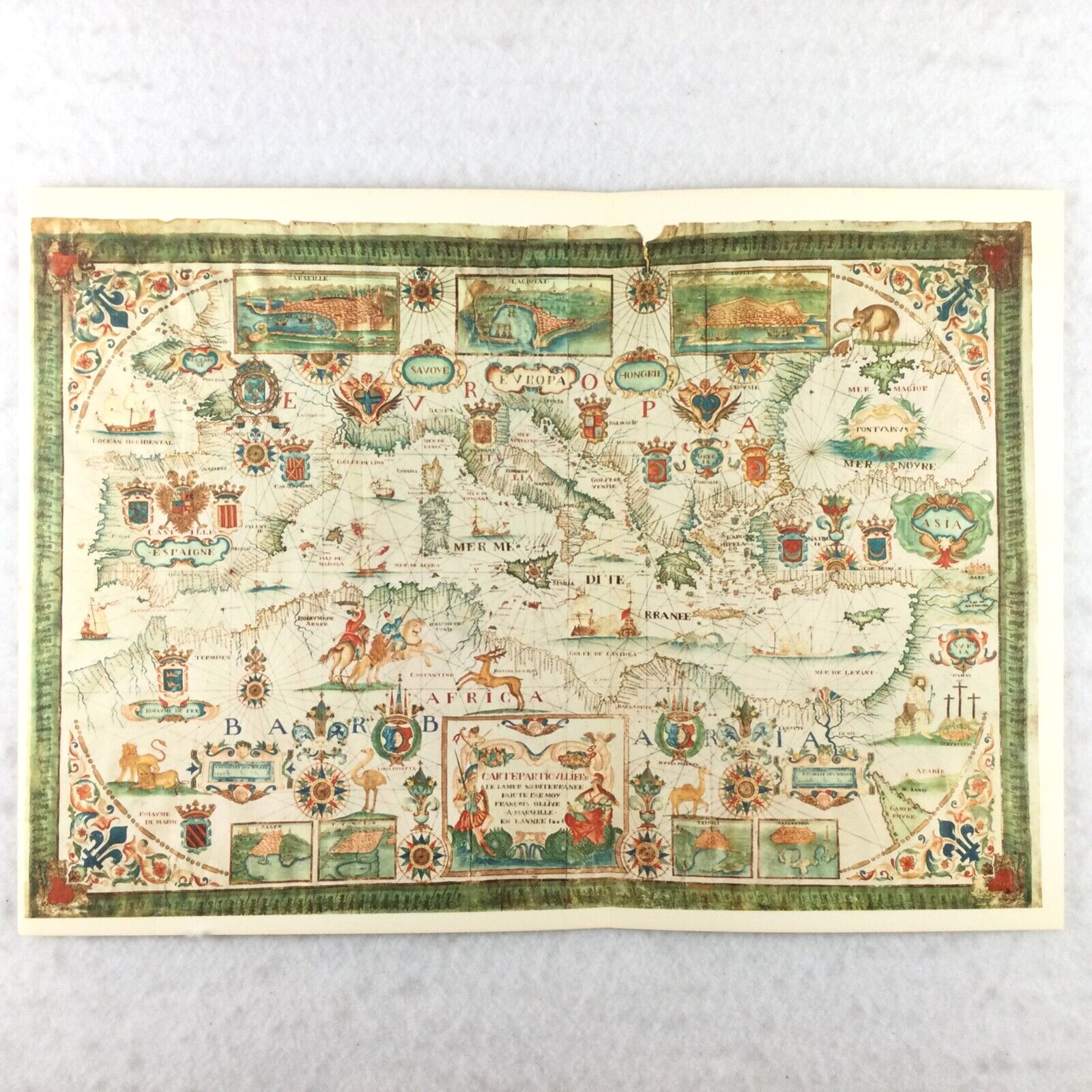
Sailing Chart Map Nautical Navigation VTG PRINT 18.5" x 13" EUROPE AFRICA 1664
$ 10.55
- Description
- Size Guide
Description
Antique Sailing Chart Map Nautical NavigationVINTAGE PRINT / REPRODUCTION - EUROPE AFRICA ASIA, 1664
Map by Messinese Francesco Oliva, Created in Marseille, France (Musée de la Marine, Paris)
Size: approximately 18.5" x 13" - it was a "fold out" page so there is a crease
Green border
Very Good to Excellent condition
Vintage map page sourced from 1961 large hardback book titled
"Old Sailing Carts" (Antiche Carte Nautiche) by Lucio Bozzano, translated by Ben Johnson
Illustrated Illuminated Full Color Map Compass Rose Animals Coat of Arms
History Library Classroom Wall Art Decor


