-40%
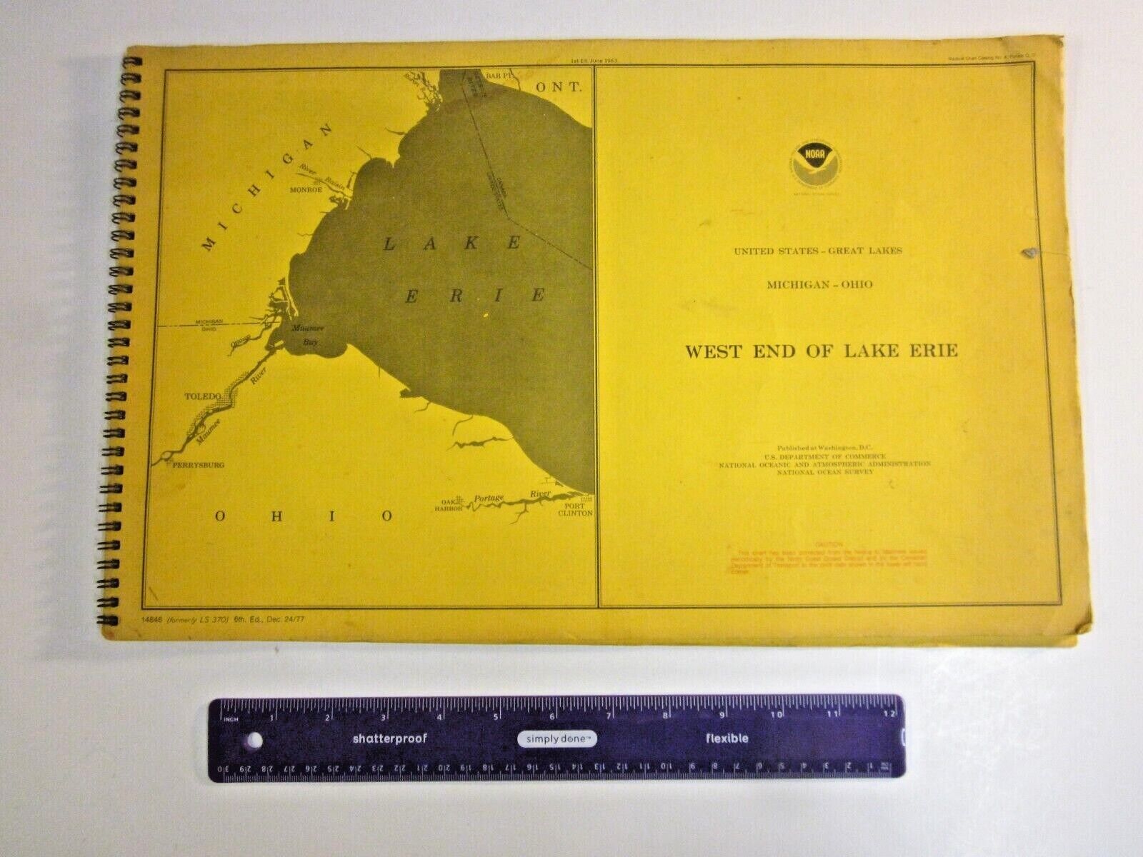
Recreational Watercraft West End of Lake Erie Nautical Chart 1977 NOAA
$ 18.77
- Description
- Size Guide
Description
National Ocean Survey.National Oceanic and Atmospheric Administration (NOAA).
Recreational boating.
West End of Lake Erie.
Covers Michigan, Ohio, and Ontario, Canada:
* Perrysburg
* Maumee River
* Huron River
* Bar Point, Ontario
* Port Clinton
* Toledo
* Monroe
* Luna Pier
17 inches wide / 11 inches tall.
36 pages.
This is a chart, showing water depths, which a map does not, per NOAA.
Helpful boating information:
* Show water depth
* Locate yourself using landmarks
* Use of buoys, the "highway" markers
* How to identify buoys
* Use of navigational lights after dark
* How to use a compass, straightedge, and protractor
Thank you!
ps This looks just like the charts produced by the Army Corps of Engineers. Surely there is some connection.


