-40%
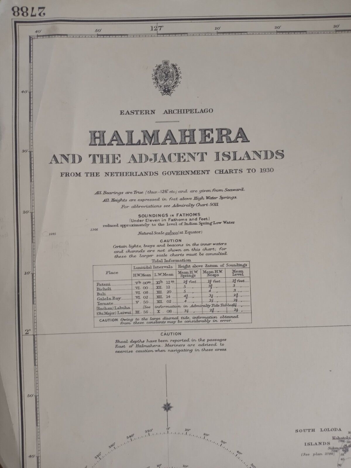
ORIGINAL VINTAGE MAP TERRITORY NAUTICAL CHART Eastern Archipelago Halmahera
$ 63.35
- Description
- Size Guide
Description
ORIGINAL VINTAGE MAP TERRITORY NAUTICAL CHARTEastern Archipelago Halmahera and the Adjacent Islands
from the Netherlands Government Charts to 1930
Patani, Bicholi, Buli, Galela Bay, Ternate, Bacham Labuha, Obi Major Laiwui
See Photos for condition.
Halmahera
, formerly known as
Jilolo
,
Gilolo
, or
Jailolo
, is the largest
island
in the
Maluku Islands
. It is part of the
North Maluku
province
of
Indonesia
, and
Sofifi
, the capital of the province, is located on the west coast of the island.
Halmahera has a land area of 17,780 km
2
(6,860 sq mi); it is the largest island of Indonesia outside the five main islands. It had a population of 162,728 in 1995; by 2010, it had increased to 449,938 for the island itself (excluding the tip which is considered part of the Joronga Islands, but including
Gebe
and Ju islands) and 667,161 for the island group (including all of South Halmahera and
Tidore
, but not
Ternate
).


