-40%
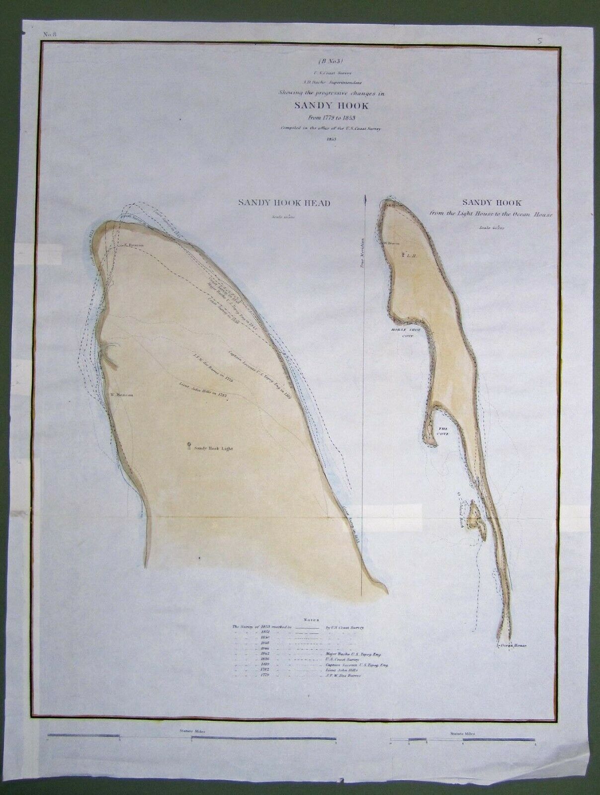
ORIGINAL 1853 HAND COLORED CHART SANDY HOOK NEW YORK BAY
$ 25.87
- Description
- Size Guide
Description
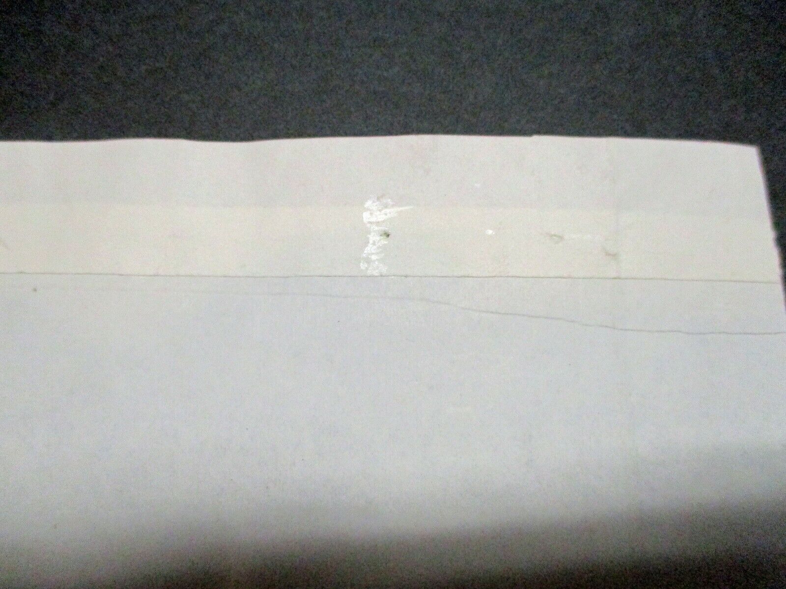
Nautical chart: Sketch B, no. 3: U.S. coast survey, A.D. Bache, superintendent. Sandy Hook, New York Bay.Rendered drawing by L.D. Williams; Engraved by W. Smith . Chart contains 2 Images left is Sandy Hook Head. Right is entire section from Lighthouse to Ocean House. Paper is in good condition with 3 repairs on the reverse.Date
1853
Format
cartographic
still image
Physical Description
1 map : some color ; 16 x 13 in.
Publisher
United States Coast Survey


