-40%
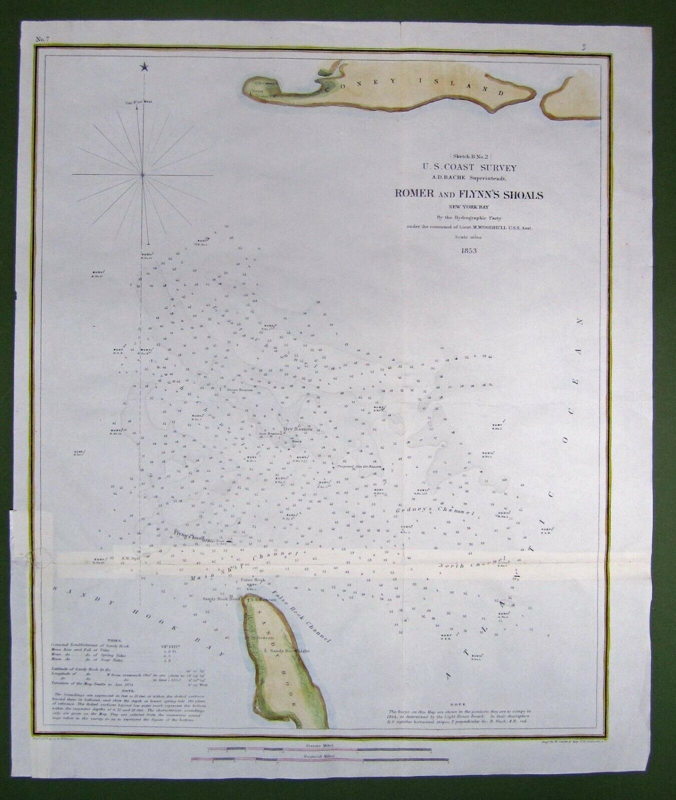
ORIGINAL 1853 HAND COLORED CHART ROMER AND FLYNN SHOALS NEW YORK BAY
$ 20.59
- Description
- Size Guide
Description
Nautical chart: Sketch B, no. 2: U.S. coast survey, A.D. Bache, superintendent. Romer and Flynn's shoals, New York Bay. Depicts soundings and buoys off Coney Island and Sandy Hook. On lower edge: Rendered drawing by L.D. Williams; Engraved by W. Smith and app. T.H. Oehlschlager. Similar to map 1849.02.01. Very good condition hand coloring date unknown. Paper is good with repair on reverse from original folds.16 x 13 in


