-40%
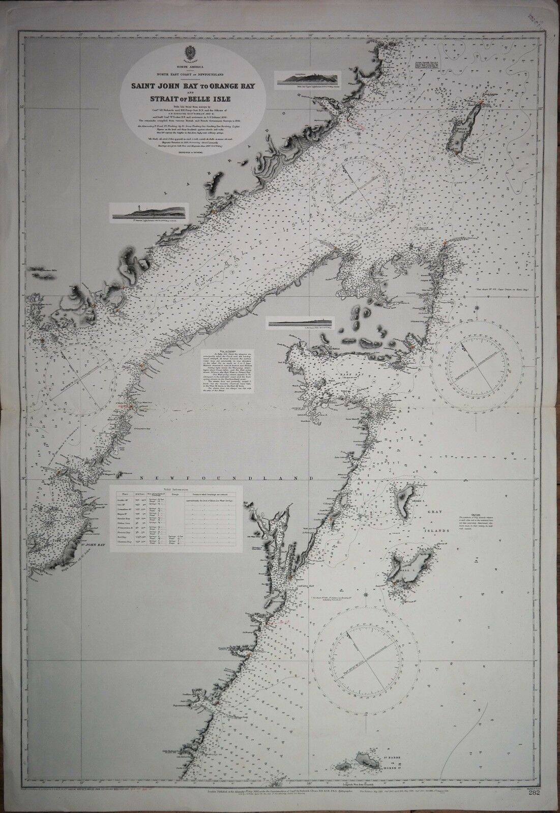
North America - Newfoundland, British Admiralty Chart 282, published 1882
$ 76.55
- Description
- Size Guide
Description
Very detailed and authentic chart of Newfoundland with landviews, sailing directions, tidal information and so on.Surveyed from in 1897-1898
Engraved: 1882
Edition: 1913
Dimensions: standard
Condition: VG+
Archipel International Maritime Gallery – see site
Nautical Instruments
-
Sea Charts
- Old Globes
-
Maritime Art


