-40%
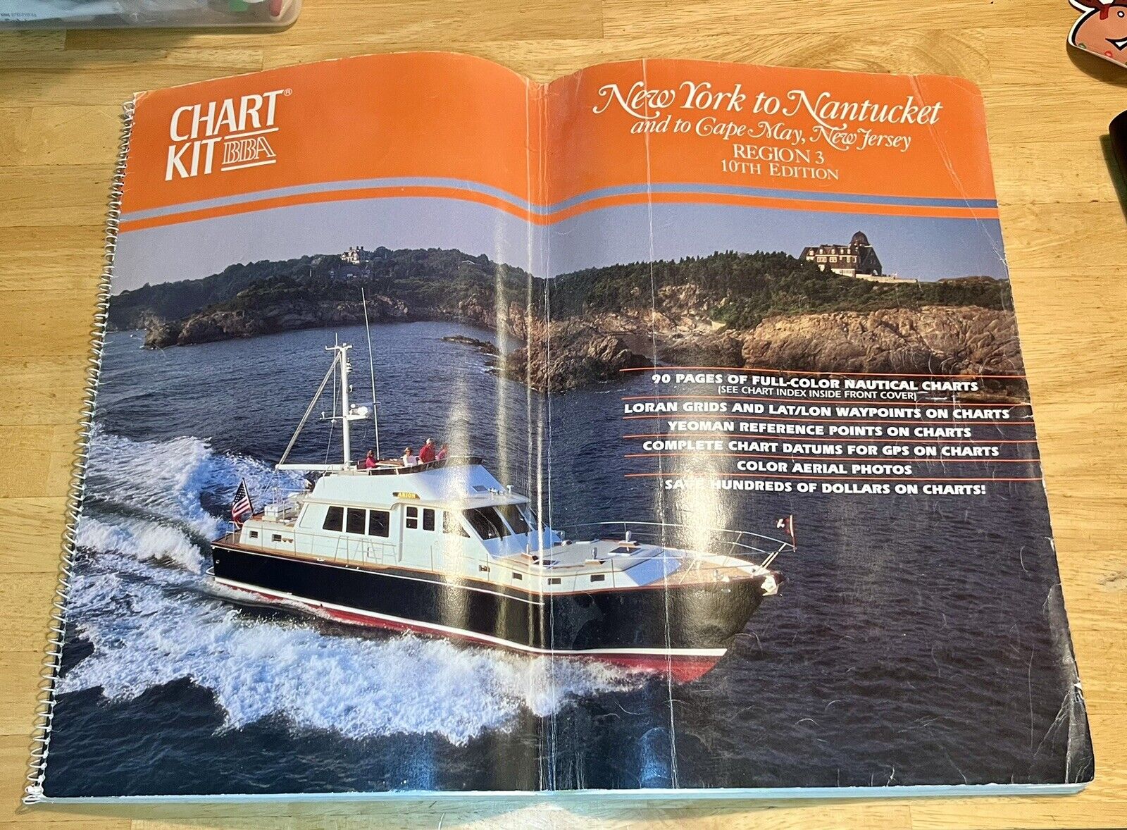
Nautical Chart Kit BBA New York To Nantucket Region 3, 10th Edition
$ 13.2
- Description
- Size Guide
Description
CLASSIC that never goes out of style - These charts have been keeping sailors afloat for generations.90 PAGES OF FULL-COLOR NAUTICAL CHARTS (SEE CHART INDEX INSIDE FRONT COVER)
LORAN GRIDS AND LAT/LON WAYPOINTS ON CHARTS
YEOMAN REFERENCE POINTS ON CHARTS
COMPLETE CHART DATUMS FOR GPS ON CHARTS
COLOR AERIAL PHOTOS
SAVE HUNDREDS OF DOLLARS ON CHARTS!
This copy is in good condition with the spiral binding - They run about 100.00 new.
This product is a nautical chart kit titled "New York to Nantucket. Region 3, 10th Edition" published in 1997 by the Better Boating Association. It includes nautical maps of New York, Nantucket, and the New Jersey coast. The kit is written in English and falls under the category of books and magazines, textbooks, education and reference, and maps and atlases.


