-40%
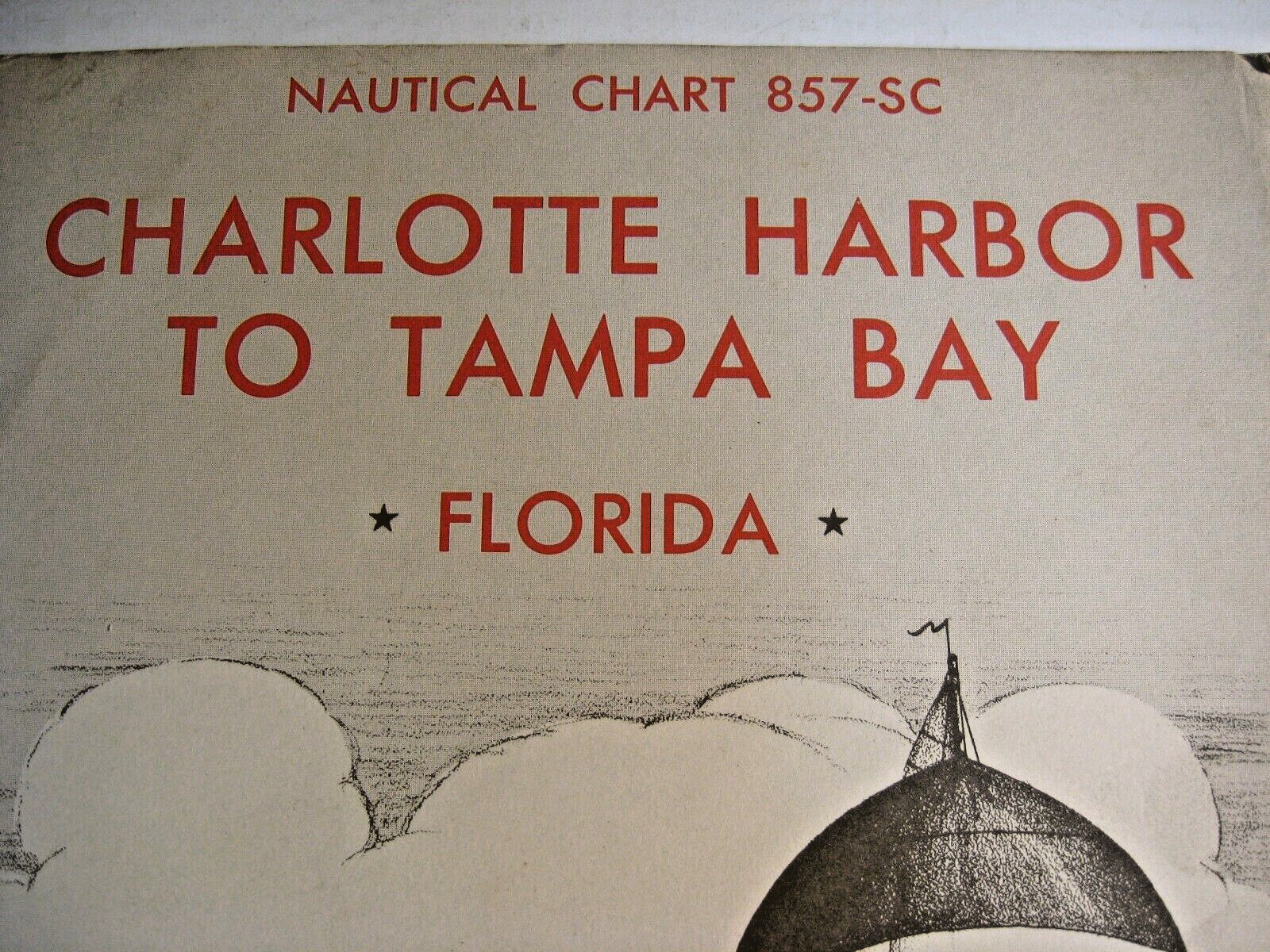
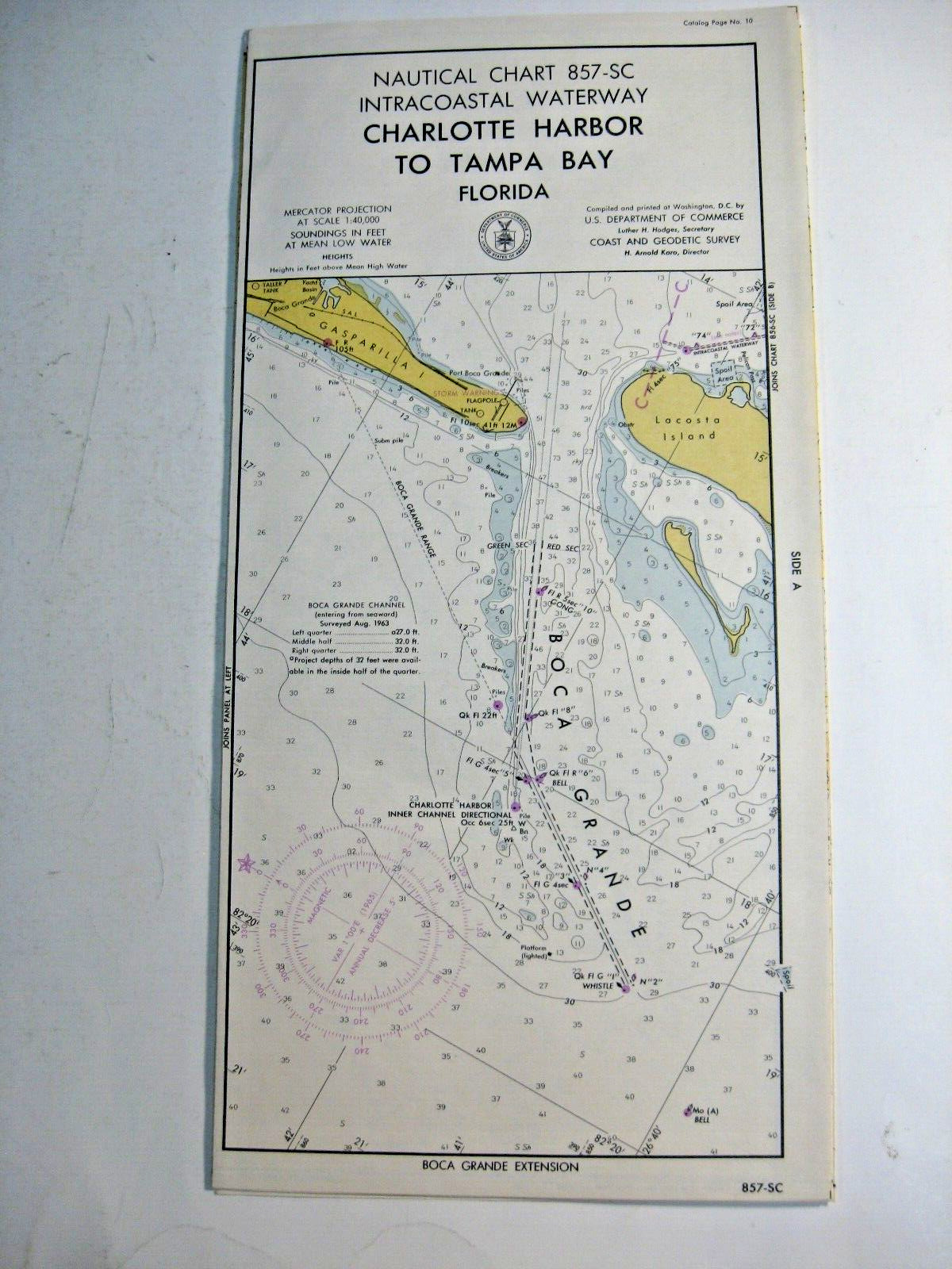
Nautical Chart Florida 1964 Charlotte Harbor to Tampa Bay Florida
$ 13.17
- Description
- Size Guide
Description
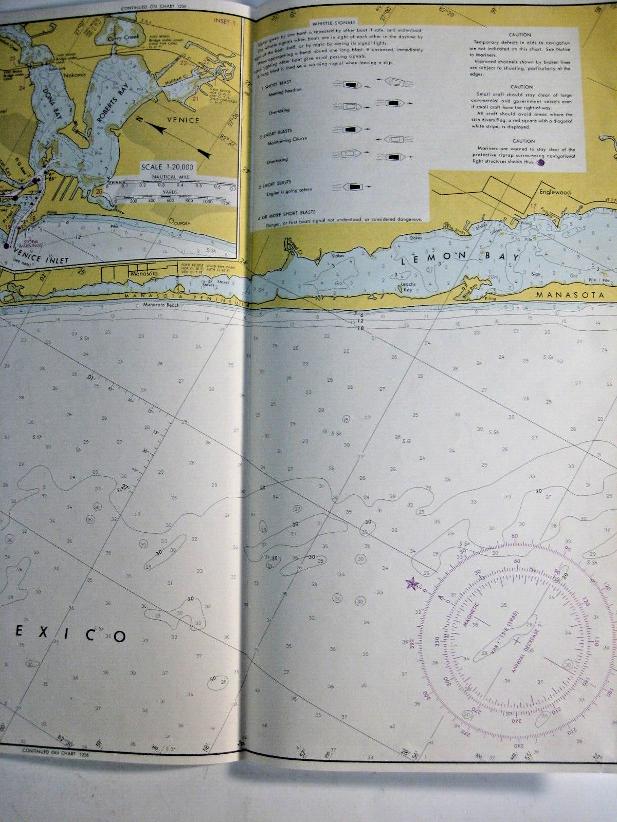
Nautical Chart.No. 857-SC Intercoastal Waterway.
Charlotte Harbor to Tampa Bay, Florida.
1964, 3rd Edition.
U.S. Department of Commerce, Coast and Geodetic Survey, Washington, D.C.
54 inches wide, extended
15 inches tall
Comes in a folder.
The folder includes such information as:
* Times and Heights of Low and High Waters
Thank you!


