-40%
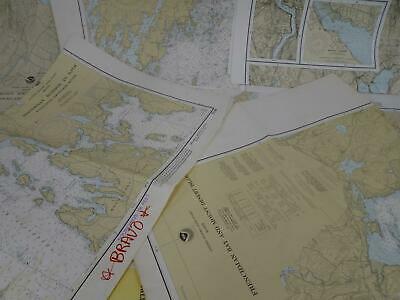
Lot 20 Maine ME NOAA Nautical Navigational Maps Charts circa 1960s to 2000s
$ 105.59
- Description
- Size Guide
Description
This is a mixed lot of nautical navigational charts.Here are the details:
State(s): Maine
Specific charts:
13288, Monhegan Island to Cape Elizabeth, 1995
13293, Damariscotta, Sheepscot and Kennebec Rivers, 1978
13296, Boothbay Harbor to Bath, including Kennebec River, 1979
13302, Penobscot Bay and Approaches, 1978
13303 (2), Approaches to Penobscot Bay, 1979 and 1991
13305, Penobscot Bay, 1992
13307, Camden, Rockport and Rockland Harbors, 1990
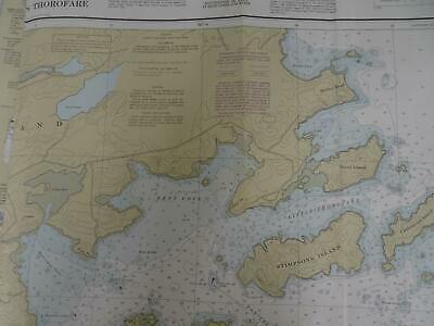
13308 (2), Fox Islands Thorofare, 1988 and 1992
13309 (2), Penobscot River, 1993 and 2002
13312 (2), Frenchman and Blue Hill Bays and Approaches, 1979 and 1992
13315, Deer Island Thorofare and Casco Passage, 1990
13316, Blue Hill Bay, 1989
13318, Frenchman Bay and Mount Desert Island, 1979
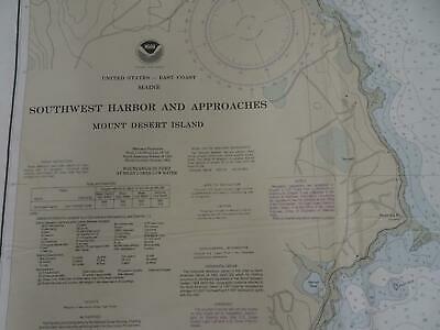
13321, Southwest Harbor and Approaches, Mount Desert Island, 1989
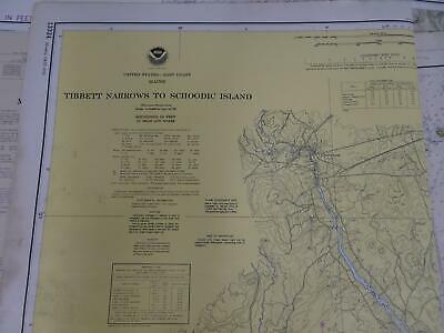
13324, Tibbett Narrows to Schoodic Island, 1976
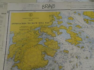
308, Approaches to Blue Hill Bay, 1964
Condition: Varying degrees of wear and writing on each chart. Some minor tears are possible.
If you are looking for nautical charts for display or crafts, this is for you. Don't let this find get away.
Attention Sellers - Get Templates
Image Hosting, Scheduling at Auctiva.com.
Track Page Views With
Auctiva's FREE Counter
