-40%
Lake Erie Nautical Chart 1968 West End Toledo Monroe S. Bass Instructional
$ 13.17
- Description
- Size Guide
Description
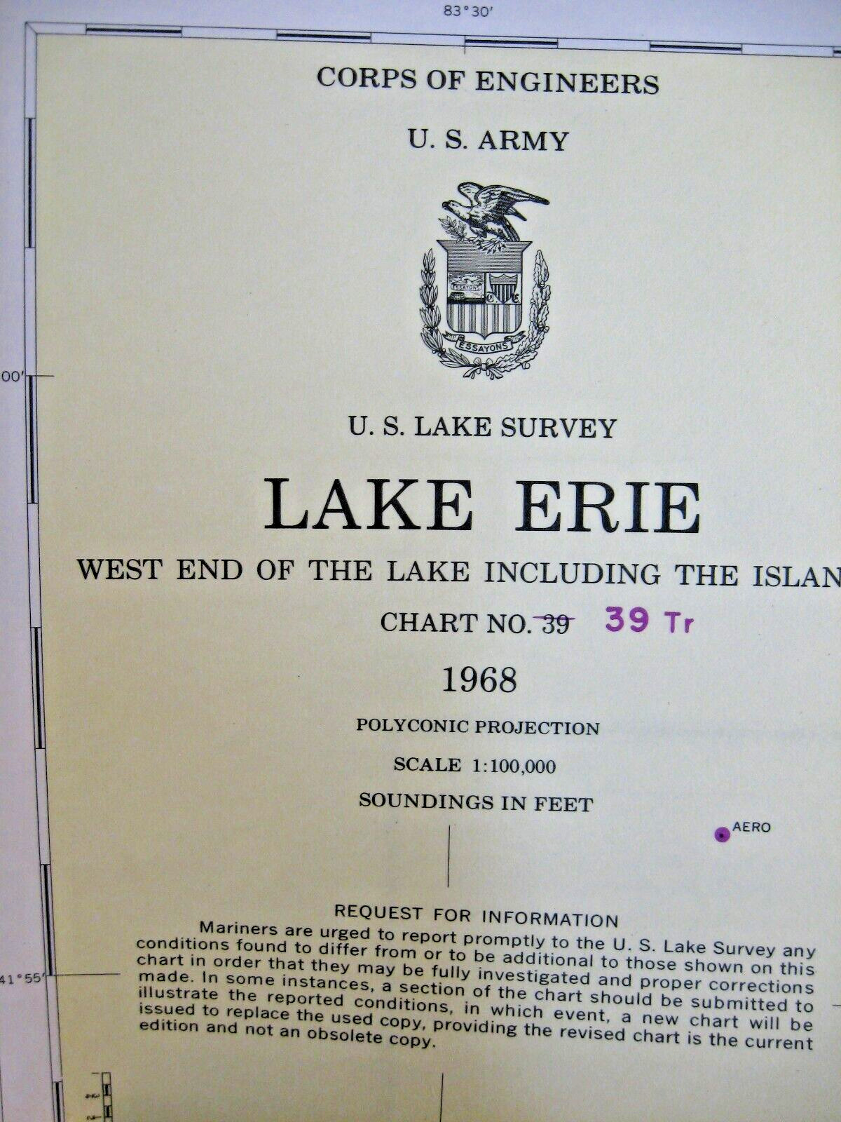
U.S. Lake Survey.Lake Erie.
West End of the Lake Including the Islands.
Chart No. 39.
1968.
U.S. Army Corps of Engineers.
44 by 34 inches.
Labeled: Not to Be Used for Navigation - For Instructional Purposes Only.
Thank you!


