-40%
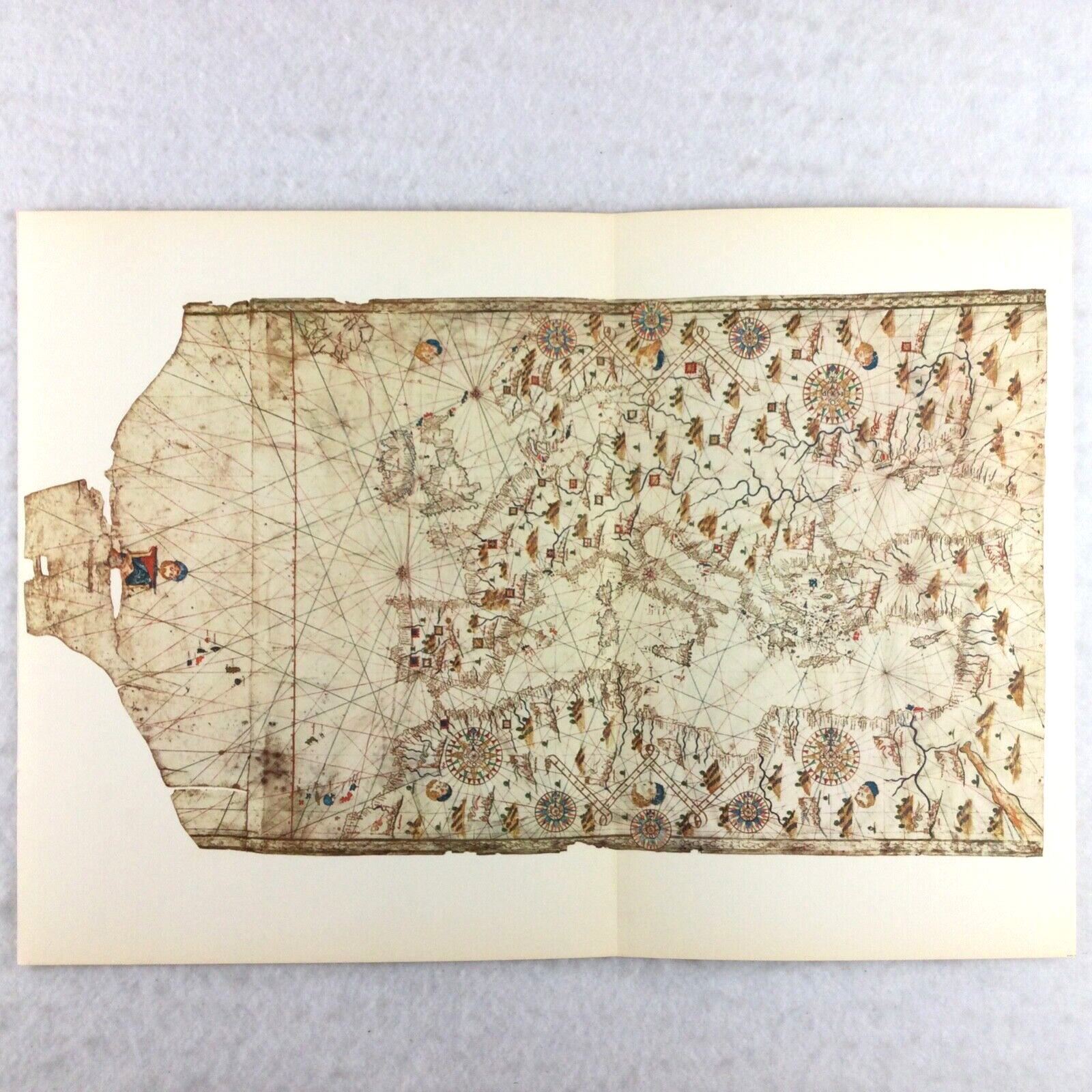
ITALY / EUROPE 1500s Sailing Chart Map Nautical Navigation VTG PRINT 18.5 x 13
$ 10.55
- Description
- Size Guide
Description
Antique Sailing Chart Map Nautical NavigationVINTAGE PRINT / REPRODUCTION - ITALY / EUROPE, Late 1500s (16th Century) Renaissance Era
Map by Unknown Italian Cartographer (Vatican Library - Rome)
Size: approximately 18.5" x 13" - it was a "fold out" page so there is a crease
Very Good to Excellent
Vintage map page sourced from 1961 large hardback book titled
"Old Sailing Carts" (Antiche Carte Nautiche) by Lucio Bozzano, translated by Ben Johnson
Illustrated Illuminated Full Color Map Compass Rose History Library Classroom Wall Art Decor


