-40%
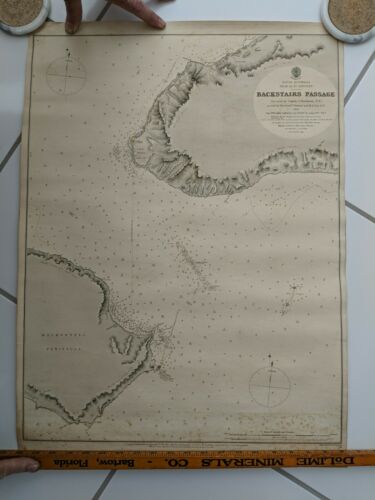
Hydrographic Chart Map S. Australia Gulf Of St Vincent BACKSTAIRS PASSAGE 1869
$ 570.24
- Description
- Size Guide
Description
Original Antique Hydrographic Chart Map South Australia Gulf Of St Vincent BACKSTAIRS PASSAGE 1869.Published in 1881.
This is an original map in good condition. Heavy chart paper measures 19 1/2" wide x 27" tall.
Hydrography surveyed by Captain J. Hutchinson R.N. 1869, showing Cape Willoughby Lighthouse.
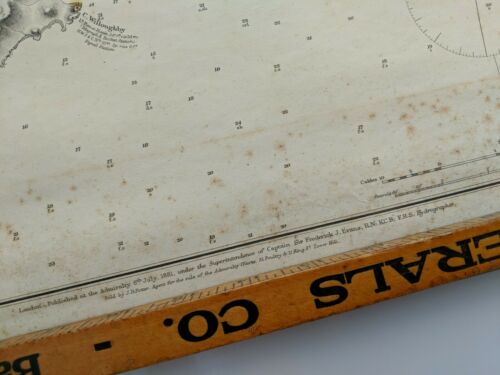
There is some foxing, particularly on the lower section. No tears or cracks, has been rolled for many years.
Truly a work of art showing water depths shallows and landmarks.
Map identifies Cape St. Albans, The Scraper, Cape Hart, White Streak, Second Valley, Cape Coutts,
Antechamber Bay, Tunkallila Beach, Porpoise Head, Cape Jercis, Lands End, Rapid Head, Finniss Vale, Yatala Shoal, and The Pages.
Stamped in red ink: A.E. Sawtell, Chartseller, Port Adelaide.
This map was owned by Capt. Charles Johnson who lived in Sarasota, Florida and was at one time the County Surveyor.
This map was obtained from Johnson's grandson.


