-40%
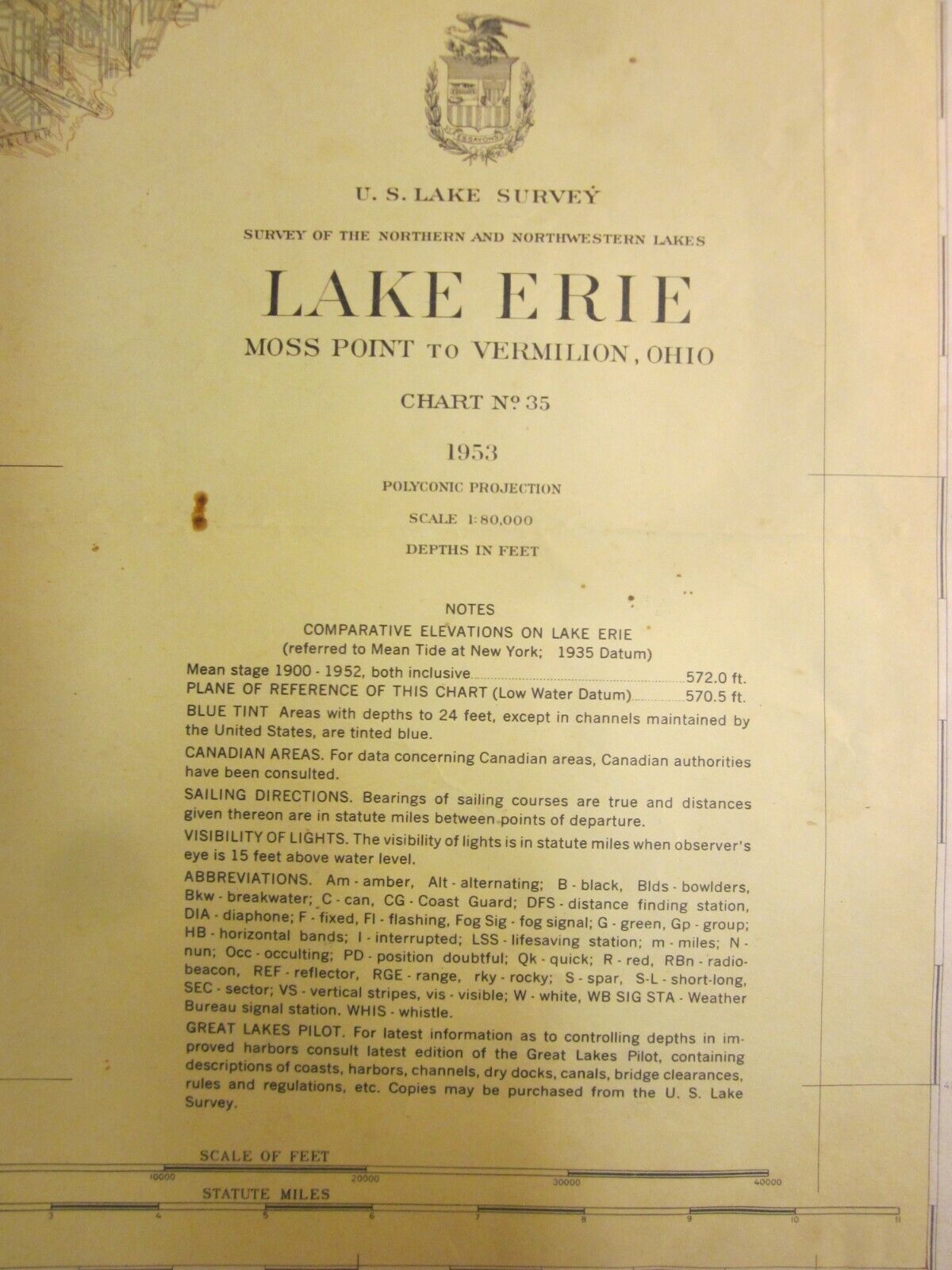
Army Corp Engineers Maritime Survey Chart Map 1953 Lake Erie Vermilion 39x30
$ 13.17
- Description
- Size Guide
Description
U.S. Lake Survey.Northern and Northwestern Lakes.
Lake Erie - Moss Point to Vermilion, Ohio.
Chart No. 35.
1953.
by the Corps of Engineers, U.S. Army.
39 by 30 inches, fully opened.
Thank you.


