-40%
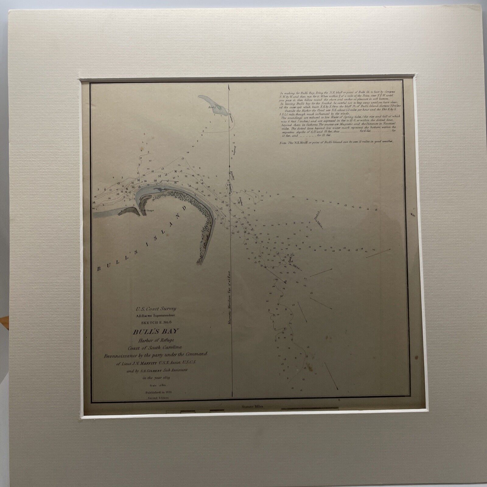
Antique USCS Chart Bull's Bay South Carolina 1851
$ 21.11
- Description
- Size Guide
Description
Antique USCS Chart Bull's Bay South Carolina 1851.Antique USCS Chart Bull's Bay South Carolina 1851
YEAR PUBLISHED:
1851
CARTOGRAPHER/MAPMAKER:
U.S. Coast Survey, Bache, A. D. Superintendent
PUBLICATION:
Sketches Accompanying the Annual Report of the Superintendent of the United States Coast Survey, 1851 Senate Executive Document no. 26
PUBLISHER:
FULL TITLE:
Sketch E. No. 6 Bull's Bay Harbor of Refuge Coast of South Carolina
CONDITION:
VG, folded as issued in report. Some overall toning and slight foxing as is typical of maps of this age. See photos for more on condition.
DIMENSIONS:
9 X 9 in 13x13 matt
DESCRIPTION:
Chart of Bull’s Bay and the Harbor of Refuge on the coast of South Carolina. Tides, currents, and navigational instructions for the mariner are shown along with many soundings and hazards depicted.


