-40%
7 vintage NOAA nautical charts-Florida & Carribean-see list and photos
$ 15.31
- Description
- Size Guide
Description
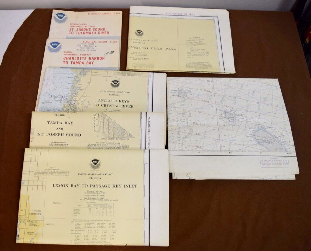
This listing features six (6) vintage NOAA (National Oceanic and Atmospheric Administration) Nautical charts and one (1) Omega Navigational Chart, all of various dates and geographic location. These charts are as follows:Florida--Charlotte Harbor to Tampa Bay, NOAA chart #11425, dated July 1978
Georgia/Florida--St. Simons Sound to Tolomato River, NOAA chart #11489, dated August, 1978
W. Indies--Anegada Passage, Omega chart 25600, dated May, 1980
Florida--Anclote Keys to Crystal River, NOAA chart 11409, dated May, 1978
Florida--Tampa Bay and St. Joseph Sound, NOAA chart 11412, dated May, 1978
Florida--Chatham River to Clam Pass, NOAA chart 11429, dated January, 1977
Florida--Lemon Bay to Passage Key Inlet, NOAA chart 11424, dated March, 1978
All the charts are in Excellent Condition-- see the "Seller's notes" and photos for more condition details.
These charts are all large--some are approximately 60" x 15" (front and back) and others are as large as 48" x 36" and larger.
The charts will be shipped in their current folded state in help keep them in excellent condition during shipping.


