-40%
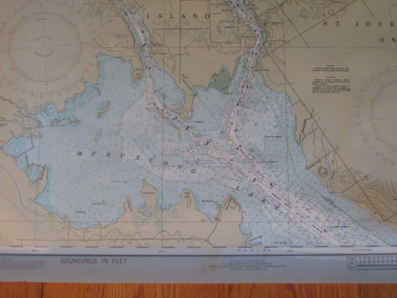
1986 USDC St Marys River To Sault St Marie Maritime MI Navigational Map Chart #1
$ 10.55
- Description
- Size Guide
Description
This vintage 1986 US Department of Commerce St Marys River Munuscong Lake to Salt St Marie Maritime Navigational Map Chart # 14883. It is a must-have for any maritime enthusiast. With its detailed and accurate navigation information, this chart is perfect for those looking to explore the St. Marys River and surrounding waterways. The chart features a range of useful information, including the country/region of origin, United States, and the original/reproduction status, vintage original.It is suitable for framing and measures 36x48". The datum is 1927 and is the 36th edition May 31, 1986.


