-40%
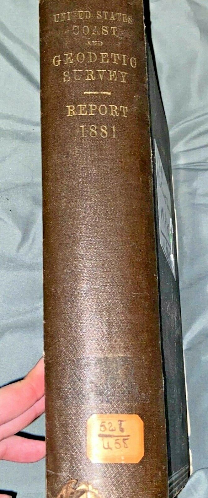
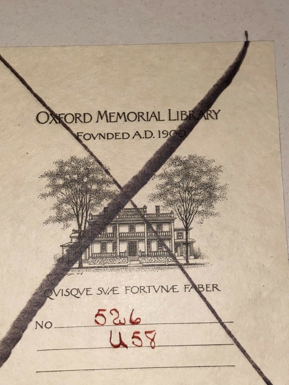
1881 US Coast Guard Survey w/ 18 Maps Oxford Memorial Library Geodetic Book RARE
$ 290.39
- Description
- Size Guide
Description
1881U.S. Coast and
Geodetic Survey
showing
The progress of the work
during the
Fiscal year ending
with June, 1881
Washington:
Government Printing Office
1883
Maps at the back
have been tonrn out,
but are still with the
book
Maps include:
Primary triangulation
between Maryland
and Georgia
base-lines
San Diego to
Pt. Sal
Pt. Sal to
Tomales Bay
Reconnaissance
for triangulation
in
Kentucky and
Indiana
Triangulation and
reconnaissance
in
Tennessee
East coast of
Florida
Halifax River to
Cape Canaveral
Triangulation and
reconnaissance
in
Wisconsin
Triangulation and
reconnaissance
in
Ohio
Transcontinental
triangulation and
reconnaissance
Eastward from
the Pacific coast
Geodetic connection
of the
Atlantic and
Pacific coasts
Carlile P. Patterson
Chart showing
positions of
magnetic stations
occupied between
1844 and July 1881
Carlile P. Patterson
Chart showing
longitude stations
and connections
determined by means
of the electric telegraph
between 1846 and July 1881
Progress sketch
East coast of Florida
Indian River to
Cape Florida
From Tomales Bay
to the Oregon line
East coast of Florida
From Amelia Island
to Halifax River
(no informational
text) Map of
Tennessee
Primary triangulation
between Long Island
and the Blue Ridge
Triangulation and
reconnaisance
Pennsylvania and
New Jersey
Primary triangulation
between the
Massachusetts base
and
Lake Ontario
Some have tearing
on the fold lines...
they are on very thin
paper and have been
folded in same position
for who knows how)
long...be careful when
opening :)
If framed...won't
matter


