-40%
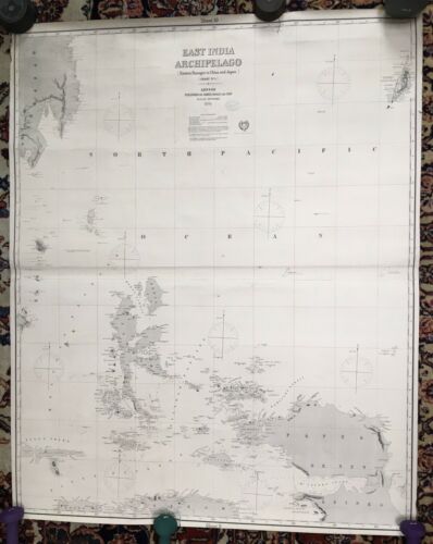
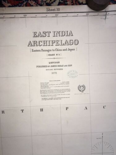
1878 Imray Map East India Archipelago,Eastern Passages To China & Japan Chart
$ 105.07
- Description
- Size Guide
Description
Original nautical chart/map titled "East India Archipelago, Eastern Passages to China And Japan". Chart #5 of 9 Charts.Published by James Imray and Son 1878; 89 & 102 Minories, London 1881. Chart #175.
An early large 1878 nautical chart/ maritime map backed with blue paper illustrates numerous islands in the area south of what was then noted as the North Pacific Ocean.
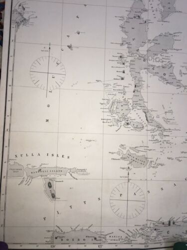
The major islands shown are Papua, New Guinea, north part of Ceram, Gillolo (N. Maluka & Halmahera), Batchain (Bacan Is.), Obie Major, Mangoeli, Mysole (Obie), Waygieo, Popa, Xulla Isles, Morty (Moratai Is), Paloa or Pelew, Celebes, Salawatty, Sanguir and numerous others. A section of the southern part of Mindanao (second largest island in the Philippines) is also shown. Several passages including Pitts Passage, Mulucca Passage and Gillolo Passage are marked.
This early map is extensive in its maritime detail noting numerous bays, passages and straits and showing countless depth soundings, mountains and island elevations of areas previously uncharted.
The map measures approximately 50 1/2" x 41" (128 cm x 104 cm.). It is in good condition for its age and well attached to its backing. There is some minor edge wear and there are 2- 2" edge tears, one entering the top margin, and the other at the bottom margin. There is no paper missing.
What appear to be darker areas in the pictures are shadows.
Please examine the photos before purchasing.
The map will be shipped rolled. It is oversize +/- 45". Insurance is required. We will ship internationally but, postage will vary upon destination, contact seller prior to paying.
Please email with any questions.


