-40%
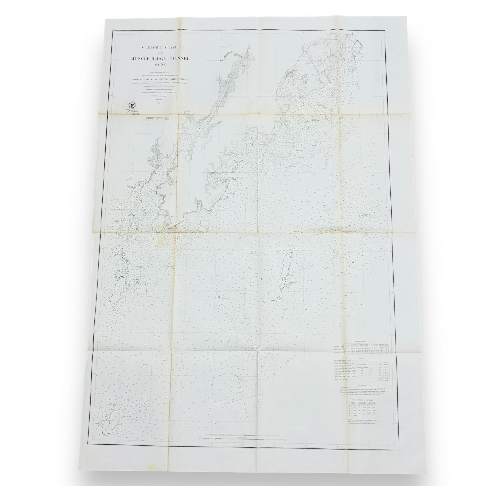
1864 Coast Survey Chart, St. George's River and Muscle Ridge Channel Maine Map
$ 16.08
- Description
- Size Guide
Description
1864 Coast Survey Chart, St. George's River and Muscle Ridge Channel Maine MapThis lot is a detailed chart which includes an abundance of data such as bathymetric soundings, islands, rocks, inlets, harbors, lighthouses, rocks, towns, coves, and more. The chart shows the coastline from Monhegan Island in the southwest to Monroe Island and Owl's Head Light in the northeast.
The chart was published by the United States Coast Guard in 1864 and printed in the 39th Congress, 1st Session, House of Representatives, Ex. Doc. No. 75. It is approximately 41" tall by 28.5" wide. It will be shipped in its original folded condition.
All our items are kept in a smoke-free and pet-free environment.


