-40%
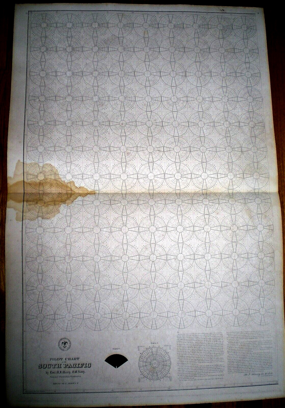
1856 Lt. M.F. MAURY'S PILOT CHART OF THE SOUTH PACIFIC ~ SHEET NO. 5, SERIES C
$ 356.4
- Description
- Size Guide
Description
Original 1856 Sea Chart by the United States Hydrographical Office: "Pilot Chart of the South Pacific - by Lieut. M. F. Maury, U.S. Navy. - National Observatory, Washington. Sheet No. 5. Series C." Measures 24-1/4 x 37 inches; horizontal fold line (as issued). There is a water mark at left center; otherwise very good condition. This rare chart was once the property of a certain Sea Captain named Seth Doane. The only other info I have on him is that while in port, he stayed at the Astor House (New York's finest Hotel at the time).Will be shipped loosely rolled.


