-40%
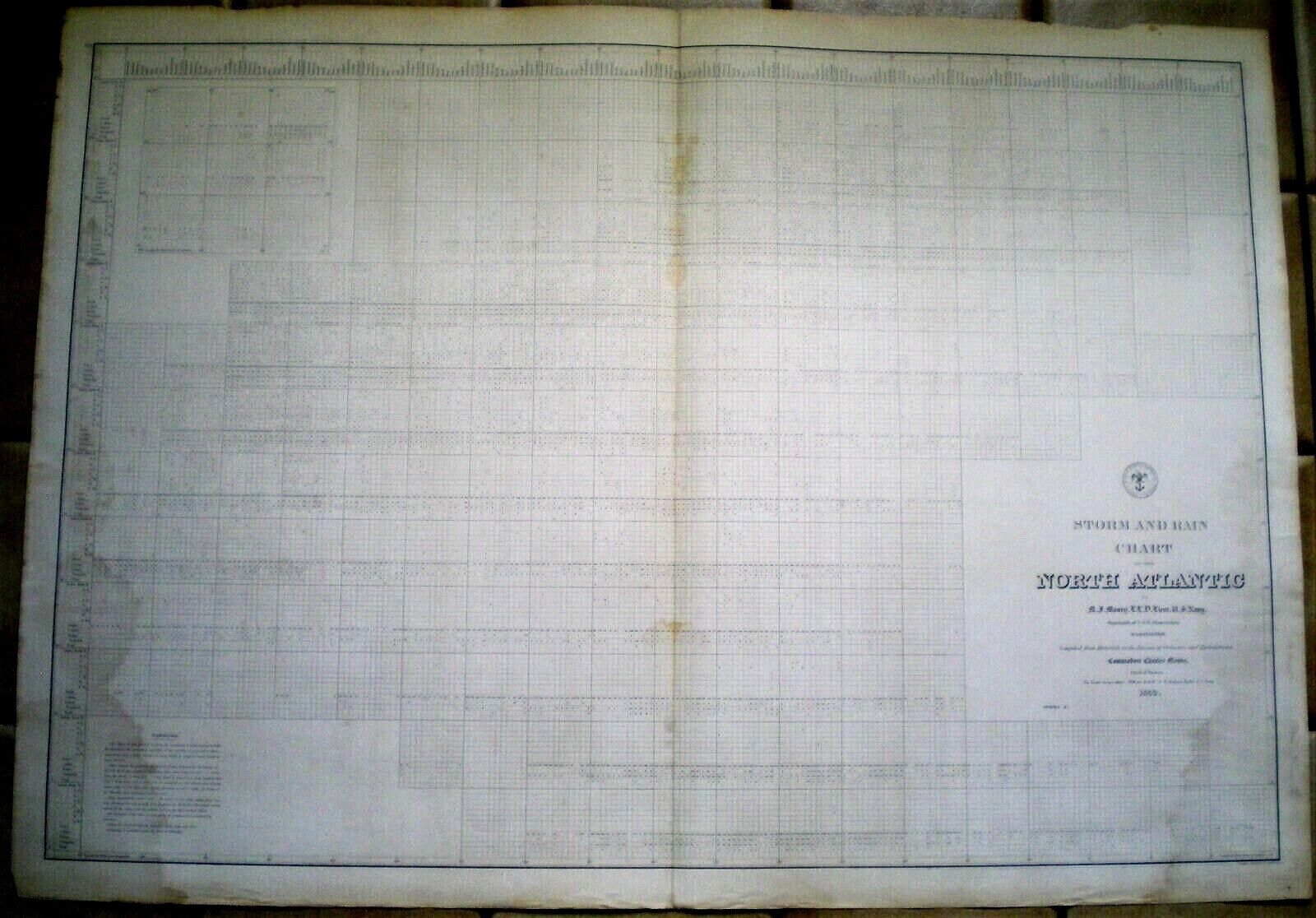
1853 MAURY'S STORM and RAIN NAVIGATIONAL CHART ~ THE NORTH ATLANTIC ~ SERIES E
$ 382.8
- Description
- Size Guide
Description
Rare original Series "E" Navigational Chart by the U.S. Hydrographical Office. Maury's Storm and Rain Chart of the North Atlantic; 1853. Measures 26-1/4 x 37-1/2 inches. Some pale water marks and some amount of wear and handling. They were actually used by a certain Sea Captain named Seth Doane, who would reside at the Astor House in New York City while on shore (that's about all I know of him).Free shipping in the U.S. - Will be shipped loosely rolled.


