-40%
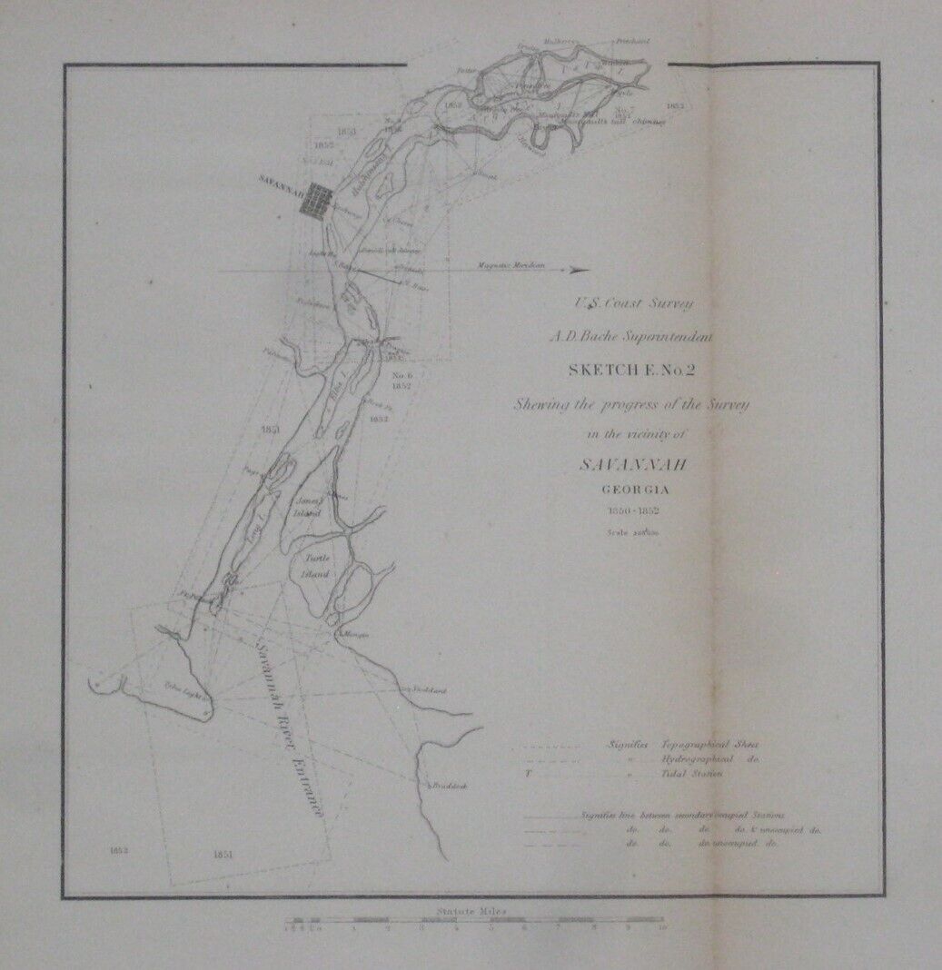
1852 Coast Survey SAVANNAH RIVER ENTRANCE Tybee Light Fort Pulaski Argyle Island
$ 13.19
- Description
- Size Guide
Description
Original antique map of the coastal waters of Savannah, printed more than 160 years ago.This map is drawn on a scale of 1:200,000, and the coverage extends from the Savannah River Entrance to Isla Island.
Among the named places and features are the Tybee Island Light, Hutchinson's Island, Fort Pulaski, Manigault's MIll, Argyle Island, Savannah Exchange, Fort Jackson, and a dozen or so property owners whose homes were used as triangulation reference points during the survey along the river.
The map was compiled by the U.S. Coast Survey to show the progress of the survey, 1850-1852 and was printed by Robert Armstrong, Washington, D.C, 1853.
Condition:
This map is in
excellent condition,
bright and clean, with a single vertical fold, as issued, and
no
marks, rips or tears. Please see the scans and feel free to ask any questions.
This is an
original
, authentic U.S. Coast Survey map,
not
a reproduction or modern reprint, and it is fully guaranteed to be genuine.
Buy with confidence! We are always happy to combine shipping on the purchase of multiple items — just make sure to pay for everything at one time, not individually.
Powered by SixBit's eCommerce Solution


